Map Kibera
Kenyan Citizens Putting their Community on the Map

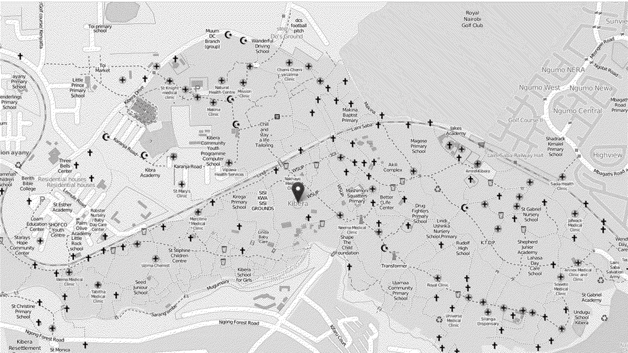
Kibera in Nairobi, Kenya, was a blank spot on the map until November 2009, when young Kiberans created the first free and open digital participatory map.
They noticed that Nairobi City Council mapped the slum as a forest, and that it was absent from online mapping resources such as Google Maps and Open Street Map. Map Kibera has now grown into a complete interactive community information project, aiming at empowering citizens and giving them a say in the process of governance by teaching them how to report on their own environment, allowing a greater participation in the democratic process.
Map Kibera | Map Kibera